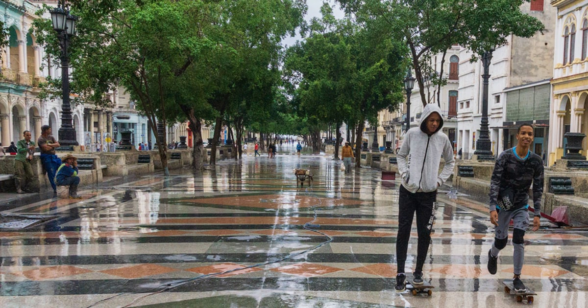
Recent meteorological forecasts suggest that the initial cold front of the 2026-2027 winter season might arrive in western Cuba next Tuesday, either in the afternoon or early evening.
Laura Pit, an expert from Cuba's Meteorology Institute's Forecast Center, shared on Facebook that models predict a low-pressure area forming in the Gulf of Mexico by Monday. This system could potentially develop into a cold front, moving eastward across the Gulf's waters to reach Cuban territory.
"If this pattern holds, the first cold front of the 2026-2027 winter season is expected to reach western Cuba on the afternoon or early evening of the 10th," the meteorologist remarked.
The arrival of this front would gradually alter weather conditions, initially in the west and subsequently affecting central and eastern regions, as the system progresses eastward.
This prediction remains preliminary, contingent on the development of the anticipated low-pressure area in the Gulf of Mexico. Currently, the Meteorology Institute has not specified potential temperature drops or forecasted rainfall or wind values related to this front.
The institution has committed to providing ongoing updates about the system's progression in its future reports.
In their weather outlook released at 9:00 a.m. on Wednesday, the Forecast Center noted that Cuba was under the peripheral influence of migratory high pressures, with weak variable winds. The preceding 24 hours witnessed showers, rain, and thunderstorms in central and eastern regions, while western areas experienced isolated precipitation.
These conditions were attributed to a trough in the middle and upper atmospheric levels over the southeastern Gulf of Mexico, which increased humidity and, combined with daytime heating, led to atmospheric instability.
Satellite images on Wednesday depicted partly cloudy skies from Matanzas to Guantánamo, with some isolated rains along the northern coast.
The institute also reported that no tropical cyclonic development was expected in the Atlantic, Caribbean Sea, or Gulf of Mexico over the next 12 to 24 hours.
The potential arrival of the first cold front aligns with forecasts of an unusual winter in Cuba, marked by more frequent cold fronts, significant rainfall, and possibly notable temperature drops.
This scenario was outlined at the XVI National Climate Outlook Forum in late October, based on analyses by Meteorology Institute specialists. Experts noted that El Niño's influence and polar vortex disruptions could promote the advent of frontal systems and cold air masses to the Caribbean between November 2026 and April 2027.
Projections also indicate higher-than-average rainfall in western Cuba from November to January, with the most significant temperature declines likely occurring from December through the early months of 2027.
Understanding Cuba's Winter Weather Patterns
What influences the arrival of cold fronts in Cuba?
The arrival of cold fronts in Cuba is influenced by factors such as the El Niño phenomenon and polar vortex disruptions, which can lead to increased frontal systems and cold air masses reaching the Caribbean.
What are the expected weather patterns for Cuba's 2026-2027 winter season?
The 2026-2027 winter season in Cuba is expected to feature more frequent cold fronts, significant rainfall, and potential notable drops in temperature, especially influenced by El Niño and disruptions in the polar vortex.