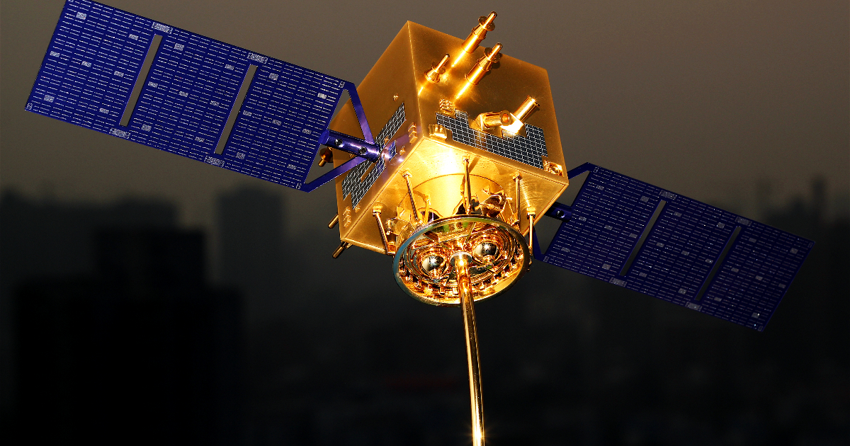
An unexpected disintegration of a Chinese military reconnaissance satellite, Yaogan-50 (02), occurred in early September 2026. This event followed revelations by U.S. officials linking Chinese satellite imagery to an Iranian attack that resulted in the deaths of three U.S. soldiers in Jordan on July 17.
The U.S. Space Force reported at least 43 pieces of debris resulting from the satellite's breakup by September 4. These fragments are now orbiting at altitudes between 600 and 1,100 kilometers, where the minimal atmospheric drag means the debris could linger for decades, posing ongoing collision risks to other satellites.
While the exact cause of the satellite's breakdown remains unverified, theories include propulsion failure, battery issues, or a collision with another object. Despite the lack of public evidence of deliberate action, the timing of the disintegration in relation to its alleged use in the conflict has sparked speculation.
The Role of Chinese Imagery in Iranian Military Strategy
A Wall Street Journal investigation revealed that prior to the July 17 attack, Iran obtained high-resolution satellite images of the Muwaffaq Salti Air Base in northeastern Jordan from Chinese sources. These images allegedly enabled Tehran to target the residential area where U.S. soldiers were sleeping, struck by ballistic missiles in one of three separate attacks within a 24-hour period.
The attack resulted in the deaths of three service members, including Private Isabella Gonzales and Sergeant Angel S. Rampersad, and left four others wounded. This marked the first American military casualties since the ceasefire in April 2026 and underscored Iran's increasing ability to hit well-defended sites.
Jim Lamson, a former CIA analyst specializing in Iran's military capabilities, stated that the high-resolution Chinese images allowed Iran to "select the most impactful targets in a timely manner" and assess the success of each strike.
China's Involvement and International Tensions
Lamson further warned that the array of Chinese technology accessible to Iran—including satellite imagery, navigation services, and components for drones and missiles—"is beginning to appear quite substantial" in enhancing Iran's long-range offensive capabilities.
In May, the Trump administration imposed sanctions on three Chinese companies—MizarVision, Earth Eye, and Chang Guang Satellite Technology—for providing images that, according to the State Department, "threaten U.S. personnel and their allies."
Despite previous warnings, Iranian targeting accuracy improved significantly over the summer, with Russia also sharing intelligence with Iran regarding the locations of U.S. ships and aircraft in the region.
Political Ramifications and Future Discussions
The discovery complicates the upcoming summit between President Donald Trump and Chinese leader Xi Jinping, scheduled for September 24. Secretary of State Marco Rubio, when questioned about whether China supplied targeting information to Iran, refrained from a direct answer, stating that "nothing China has done has altered the course of the conflict in any way."
The Chinese Embassy's spokesperson in Washington, Liu Chang, denied the allegations, asserting that Beijing's cooperation with Iran "complies with international law."
In August, the U.S. Senate approved new sanctions against Russia and Iran, with an overwhelming vote of 86-11, signaling increasing bipartisan pressure in Washington against Iran's allies.
Key Questions About Chinese Satellite Involvement
What caused the disintegration of the Chinese satellite Yaogan-50 (02)?
The exact cause is unconfirmed, but hypotheses include propulsion failure, battery malfunction, or a collision with another object.
How did Iran use Chinese satellite imagery in its attack?
Iran used high-resolution images from Chinese sources to target a residential area at the Muwaffaq Salti Air Base, resulting in the deaths of three U.S. soldiers.
What impact has China's technology had on Iran's military capabilities?
China's technology, including satellite imagery and navigation services, has significantly enhanced Iran's long-range offensive capabilities.