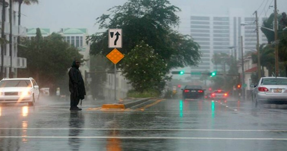
On Sunday, scattered rains and thunderstorms prompted a flood alert in Broward County, South Florida, which remained in effect throughout the afternoon.
This weather event is not an isolated incident, as the region is experiencing a very wet and unstable meteorological pattern. Forecasts indicate that this will continue throughout the week, with a high likelihood of showers and storms each day.
The primary catalyst for this weather is moisture linked to the remnants of Tropical Storm Dolly. This was the fourth named storm of the 2026 Atlantic season, which downgraded to a tropical wave on August 28 after forming in the central Atlantic just a day earlier.
Over the weekend, its remnants traveled across the eastern Caribbean, bringing rain to Puerto Rico and the Virgin Islands. According to Ryan Phillips, a meteorologist from NBC Miami, "The persistent rains this week, spread over several days, could be beneficial" for South Florida, where Fort Lauderdale and Miami are experiencing a rainfall deficit of between 12 and 15 inches.
The atmosphere, laden with tropical moisture, is expected to bring heavy downpours, frequent lightning, wind gusts, and localized flooding in urban areas and regions with poor drainage, particularly in the afternoon hours.
Continuing Rain Pattern
On Monday, showers are expected in the morning and midday over eastern Florida, moving towards the interior and southwest in the afternoon. Rain chances for both days hover around 60%, with high temperatures near 90-91°F and heat indices reaching up to 108°F.
The most active periods of the week are anticipated between Wednesday and Friday, when rain probabilities could climb to between 70% and 80%.
Critical Timing Amidst Drought
This rainy scenario arrives during a critical time for the region. In 2026, South Florida is facing its worst drought since 2012, with the Biscayne aquifer at historically low levels and a risk of saltwater intrusion into the drinking supply. Since September 2025, rainfall has remained below 50% of the historical average.
Regarding Dolly, the National Hurricane Center maintains a low probability of the system reorganizing. However, a reconnaissance flight by the Hurricane Hunter is tentatively scheduled for Tuesday near the central Bahamas if conditions warrant it.
Cuban meteorologist José Rubiera warned on Sunday about the possibility of Dolly's remnants reforming in the area of the Bahamas, northern Cuba, southern Florida, and the northern Gulf of Mexico. Although he concurs with the NHC that this probability is currently low.
If the remnants head toward South Florida, the peak of the moisture surge would occur on Thursday and Friday, the rainiest days of a week that is already shaping up to be the most meteorologically active of the summer in the region.
Understanding South Florida's Weather Challenges
What is causing the current weather pattern in South Florida?
The weather pattern is primarily caused by moisture associated with the remnants of Tropical Storm Dolly, which has led to a very wet and unstable meteorological condition.
Why is the rainy weather considered beneficial for South Florida?
Persistent rains are seen as beneficial because South Florida is experiencing a significant rainfall deficit, with areas like Fort Lauderdale and Miami missing 12 to 15 inches of rain.
What is the current drought situation in South Florida?
South Florida is undergoing its worst drought since 2012, with the Biscayne aquifer at historic lows and a risk of saltwater intrusion in the drinking water supply.
Is there a chance for Tropical Storm Dolly to reorganize?
Currently, the probability is low, but the National Hurricane Center is monitoring the situation, and a reconnaissance flight is planned to assess the conditions.