On the morning of February 11, Cuba awoke to a noticeable absence of US military ships near its territorial waters, as indicated by the latest maritime map from the public platform, Vessel Finder.
The map, reflecting the situation on Wednesday morning, illustrates a clear maritime environment surrounding the Cuban archipelago. There is no trace of vessels identified as warships in close proximity to the island, neither along the northern stretch facing Havana and Matanzas nor in the maritime corridor near Ciego de Ávila and Camagüey, or the easternmost area close to Santiago de Cuba.
While some traffic points are visible in other parts of the Caribbean and southern Florida, they are situated far from Cuba's territorial sea boundary.
No military ships were detected in the Bahamas channel or near the northern keys, regions that had previously drawn attention due to the presence of US ships in proximity.
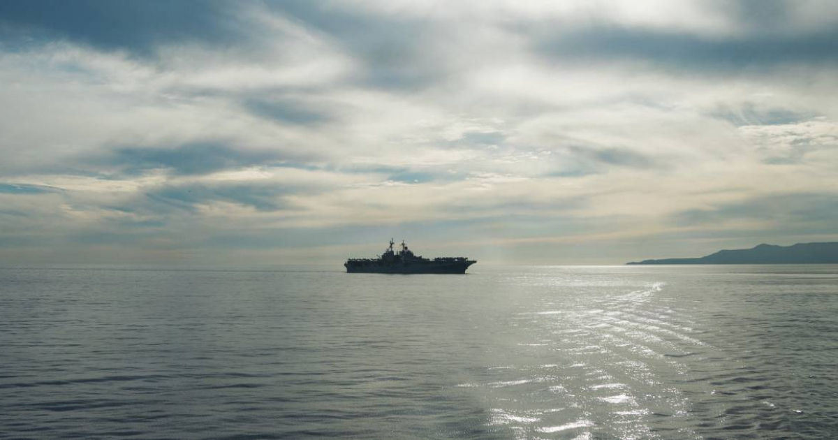
This current scenario stands in stark contrast to reports from days earlier, which observed at least three US military vessels operating in close vicinity to Cuba, as monitored through open platforms.
In one instance, a ship was spotted less than eight nautical miles from the north coast near Western Cayo Romano, prompting attention due to its proximity to the 12-mile territorial sea limit.
The update on February 11, therefore, highlights a peaceful situation in waters near Cuba, with no visible US naval units on the immediate horizon.
US-Cuba Maritime Relations
Why are US military ships sometimes near Cuba?
US military ships may patrol areas near Cuba for security reasons, to monitor maritime traffic, or as part of regional operations. Their presence can fluctuate based on strategic interests and regional tensions.
What is the significance of the 12-mile territorial sea limit?
The 12-mile territorial sea limit is a maritime boundary where a coastal state exercises sovereignty. Crossing this limit by foreign military vessels without permission can be deemed a violation of international law.