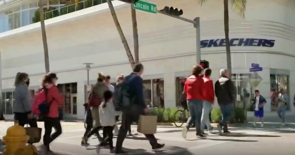
South Florida is bracing for one of its chilliest days in recent months.
Beginning Monday night and continuing into the early hours of Tuesday, a mass of Arctic air accompanied by strong winds will transform the region's typically warm climate into an unexpectedly frigid environment for this time of year.
Driven by a powerful cold front, this temperature drop is expected to shatter records and bring about a dramatic shift in the weather.
"We're expecting the coldest temperatures in the past eight months due to a significant cold front," reported Telemundo 51.
In urban areas, lows may fall below 50°F (10°C) and could even reach 44°F (6.6°C) in more inland regions, according to the same source.
The Impact Across South Florida: From Miami-Dade to the Keys
The National Weather Service (NWS) and local media indicate that the cold front's passage will bring a notable temperature decline affecting the entire area:
- Miami-Dade: Interior areas will see temperatures between 49 and 51°F, while coastal areas hover around 53°F. The wind chill might drop to 44°F.
- Broward: Lows ranging from 48 to 51°F, colder further inland.
- Palm Beach: Western areas could experience temperatures as low as 44°F, with coastal regions remaining around 51°F.
- Florida Keys: Lows will hit 50°F (10-13°C), unusual for this tropical locale.
- Other parts of the state, including Tampa and Fort Myers, may see even more extreme temperatures, nearing or dropping below 42°F, according to Weather.com and Newsweek.
"On Tuesday, highs will barely reach 69°F (20°C), with nighttime lows at 62°F," detailed El Nuevo Herald. Temperatures won't surpass 70°F, which is quite rare for this region in November.
Wind Chill Factor: Making It Feel Even Colder
The wind will play a significant role in how cold it feels.
Expect sustained gusts of 25 to 28 mph, making the perceived temperatures feel even lower than what the thermometer reads.
"The wind will be blowing very hard... making it feel colder, with wind chills in the 40°F range," warned Telemundo 51.
Newsweek cautioned that wind could drop wind chills into the 20s and 30s Fahrenheit across central-western and southwestern Florida.
"While I don't anticipate local frost at this time, it will feel very cold with the wind," said meteorologist Matt Devitt, comparing the drop to last year's harshest winter.
An Uncommon Event: Historic Cold?
This cold front isn't just strong; it's also unusually early.
"It's the earliest cold of this magnitude in nearly 60 years (since 1966)," noted Newsweek.
Miami, for instance, has only experienced eight days in its entire history with lows of 4°C or less before Veterans Day. The last occurrence was on November 10, 1956.
Other cities like Tampa and Fort Myers might also break records for early autumn low temperatures.
Health and Safety Warnings
Authorities have issued multiple warnings for South Florida residents and visitors.
The NWS advises layering clothing, protecting children and the elderly, and exercising caution with portable heaters.
The agency warns, "Prolonged exposure to low wind chills can lead to hypothermia."
Additionally, advisories for small vessels have been issued, especially in Atlantic waters, where waves could reach between 9 and 14 feet due to the wind. There's a high risk of rip currents until Tuesday night.
How Long Will the Cold Last?
The good news is that this event will be brief. By Wednesday, although still cool at dawn, temperatures are expected to gradually recover.
According to NBC Miami and the NWS, "Temperatures will rebound quickly, with still cool mornings on Wednesday, but closer to normal by week's end."
Weather.com agrees: "Milder weather will return to the central U.S. on Tuesday and spread across much of the South and then the Midwest during the rest of the week."
So, while it's time to bundle up, it won't be for long. South Florida will experience a short but intense cold wave, setting a milestone in recent climate records. Temperatures will plunge to unusual November levels, with winds further enhancing the chill factor. It will be a brief "frosty breath" in a region accustomed to warmth, an event many will remember for its intensity... and its early arrival this year.
As the National Weather Service put it: "There will be a 'temperature roller coaster' over the coming days." Dress warmly and stay tuned to local updates for safety.
FAQs About the Unusual Cold Front in South Florida
What is causing the sudden drop in temperatures in South Florida?
The temperature drop is due to a strong Arctic air mass brought by a powerful cold front, which is significantly impacting the region's typically warm climate.
How low are temperatures expected to fall during this cold front?
Temperatures in urban areas may fall below 50°F, with inland regions possibly reaching 44°F. Coastal areas will experience slightly higher temperatures, around 53°F.
Will this cold front break any temperature records?
Yes, the early arrival of such cold temperatures hasn't been seen in nearly 60 years, and records for early autumn low temperatures might be broken in cities like Miami, Tampa, and Fort Myers.
What precautions should residents take during this cold spell?
Residents are advised to dress in layers, protect vulnerable populations like children and the elderly, and use portable heaters with caution to prevent hypothermia due to low wind chill factors.
