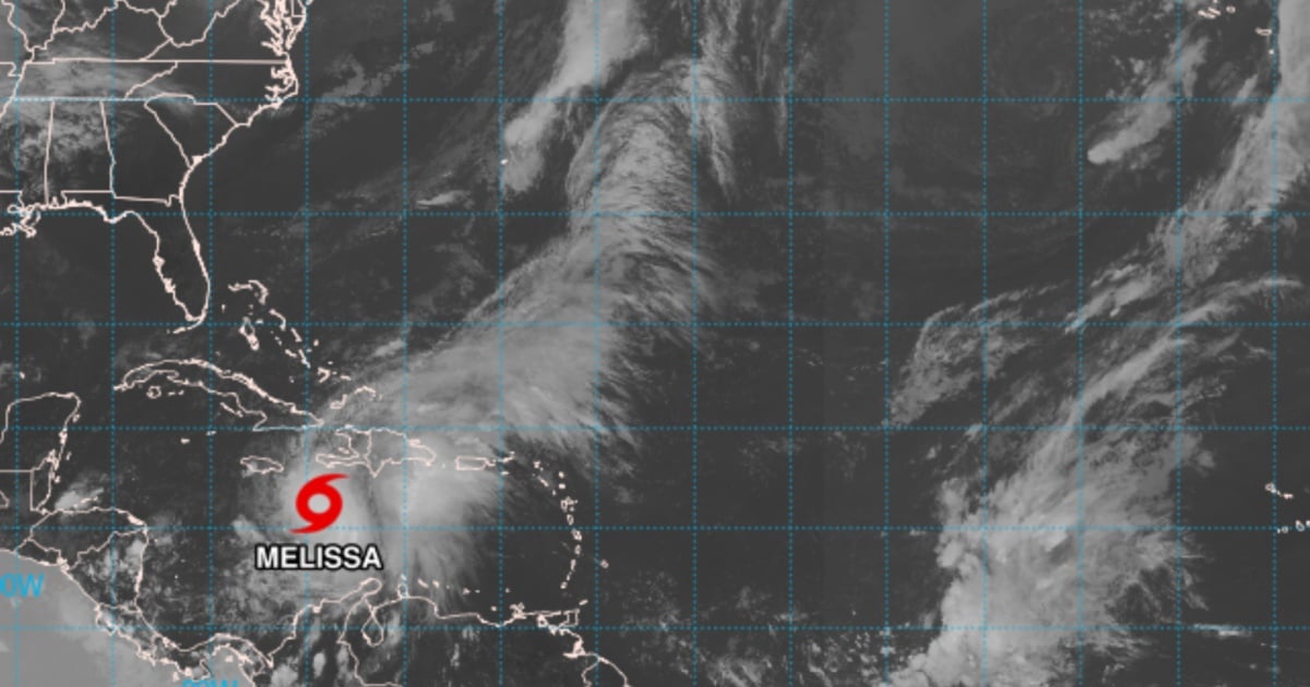
The National Hurricane Center (NHC) issued a warning in its latest update this Friday, indicating that Tropical Storm Melissa might undergo rapid intensification soon, potentially escalating to a Category 5 hurricane. The storm is expected to reach a peak intensity of 135 kt in 60 hours as it strengthens over the extremely warm waters of the Caribbean.
This development raises concerns for Jamaica and, subsequently, for Cuba. While Melissa's exact path remains uncertain, there's a possibility it could impact Cuba towards the end of the forecast period, according to the NHC's 5:00 PM EDT advisory, Bulletin 14.
The NHC's official forecast now predicts a peak of 135 kt, designating Melissa as an extremely dangerous hurricane, with rapid intensification anticipated over the weekend. The likelihood of Melissa achieving Category 5 status is significant.
The projected track has shifted slightly eastward and indicates increased speed beyond three days. Melissa could approach Jamaica around day four and potentially cross Cuba before the forecast period concludes, though the precise timing remains more uncertain than usual. Afterward, a northeastward turn is expected to direct the storm towards the southwestern Atlantic.
"Those concerned with Cuba and the Bahamas should closely monitor Melissa's progress," the statement warns, "as the risk of significant storm surge, damaging winds, and heavy rainfall increases by mid-next week. The threat of life-threatening flash floods and landslides is rising in eastern Cuba."
Data from the C-130 aircraft and satellite observations reveal that Melissa is reorganizing its inner core. A burst of deep convection with cloud tops below –90 °C has begun wrapping around the low-level vortex. The GLM detected cyclonically rotating lightning flashes on the storm's eastern flank, and the GMI (37 GHz) microwave imagery suggested the formation of an incipient eyewall feature.
The vertical wind shear, estimated by UW-CIMSS, decreased from approximately 25 kt to around 15 kt within 24 hours and has also lessened at mid-levels.
This reduction, combined with sea surface temperatures of 30–31 °C and a deeply moist environment, creates highly favorable conditions for Melissa to enter rapid intensification "at any moment."
The NHC forecast predicts this intensification process to begin earlier and continue through the weekend.
Following its peak, Melissa might experience fluctuations due to core changes and some weakening as it interacts with land (Jamaica/Cuba) towards the end of the forecast period.
Model predictions still show considerable variability, with paths ranging further west or east. Jamaica could be severely affected, and there remains a possibility of Melissa crossing over Cuba before the forecast concludes.
Key Questions About Melissa's Potential Impact
What is the current status of Tropical Storm Melissa?
Melissa is currently a tropical storm that is expected to undergo rapid intensification, potentially becoming a Category 5 hurricane soon.
How might Melissa affect Jamaica and Cuba?
Melissa poses a significant threat to Jamaica and Cuba, with risks of severe storm surge, damaging winds, and heavy rainfall expected by mid-next week.
What are the conditions favoring Melissa's intensification?
The decrease in vertical wind shear, high sea surface temperatures, and a moist environment are creating favorable conditions for Melissa's rapid intensification.