Anticipate heavy rainfall and thunderstorms sweeping across much of Cuba starting this Thursday afternoon, with the potential for severe episodes continuing into the evening. Meteorologist Raydel Ruisánchez shared on Facebook that cloud cover will increase from early afternoon, bringing showers and thunderstorms, particularly along the northern coast and interior areas of the western and central regions.
The expert cautioned that these downpours could be strong and intense in certain areas, extending into the night. This weather pattern is attributed to the presence of a trough over the Florida Straits and another in the Gulf of Mexico, which are contributing to high atmospheric moisture levels, combined with daytime heating.
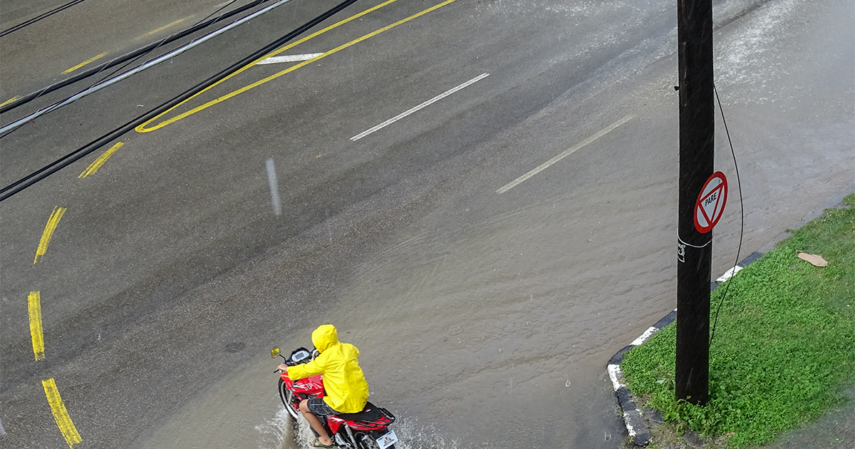
Ruisánchez advised the public to exercise caution, avoid exposure to lightning, and refrain from crossing flooded areas. In another Facebook post this Thursday, Ruisánchez noted that a tropical wave in the eastern Atlantic was designated as Invest #91L by the National Hurricane Center. Current conditions are favorable for the formation of a tropical depression in the coming days.
The system is projected to move westward and could be situated east of the Caribbean next week. However, he warned that it is still too early to determine any potential impacts on the region, as 91L is approximately six or seven days away. Given its position and the time of year, he emphasized the importance of closely monitoring this system.
On Wednesday afternoon, Bayamo city in Granma province experienced heavy rainfall, leading to street and neighborhood flooding, traffic disruptions, and impacts on the local population. Meteorologist Elaine Báez, from the Provincial Meteorological Center, reported that in just two hours, from 5:30 p.m. to 7:30 p.m., 87.8 millimeters of rain fell, accompanied by frequent lightning strikes. This event qualifies as locally intense rainfall according to official classifications.
Last Sunday, Ruisánchez had alerted about the presence of two troughs creating unstable weather conditions over Cuba. One was located over the southeastern Gulf of Mexico and the other near the eastern part of the country. These systems, combined with intense daytime heating and abundant moisture in various layers of the troposphere, are creating a conducive environment for rain, showers, and thunderstorms, especially in the western region and interior and southern areas of eastern Cuba, he warned on Facebook.
Weather Conditions in Cuba: Questions and Answers
What weather events are expected in Cuba this Thursday?
Cuba is expected to experience heavy rain and thunderstorms starting Thursday afternoon, with severe episodes likely to extend into the evening.
Why is there an increased risk of rain and thunderstorms in Cuba?
The increased risk of rain and thunderstorms is due to a trough over the Florida Straits and another in the Gulf of Mexico, which are elevating moisture levels in the atmosphere, coupled with daytime heating.
What precautions are recommended for the Cuban population?
The public is advised to exercise caution, avoid exposure to lightning, and refrain from crossing flooded areas.