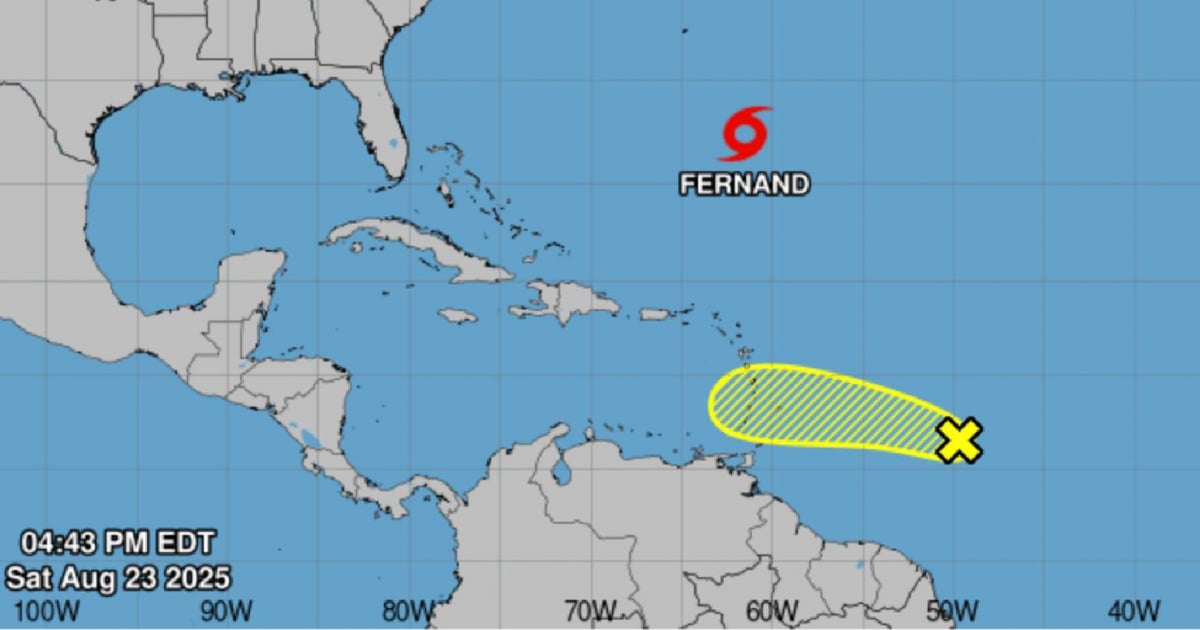
A tropical wave positioned roughly 1,045 km east of the Windward Islands is currently producing rainfall and thunderstorms in the area. According to meteorological reports, the system is advancing swiftly westward at a speed of 32-40 km/h, and it is anticipated to bring heavy local rains and gusty winds to certain islands on Sunday and Monday.
The National Hurricane Center (NHC) reports that the chance of cyclonic development for this tropical wave is low, with a 20% likelihood over the next 48 hours as well as the upcoming seven days. However, environmental conditions could become more conducive later in the week, potentially allowing it to evolve into a tropical depression.
Currently, Tropical Storm “Fernand” is also present in the Atlantic, boasting winds up to 40 miles per hour. Meteorologists advise communities in the eastern Caribbean and the Lesser Antilles to stay vigilant by following official reports.
The Atlantic hurricane season, active from June 1 to November 30, peaks climatologically in September. Experts remind us that current conditions—warm waters, low wind shear, and high humidity—are favorable for cyclone formation. It is recommended that the public consistently monitor official bulletins and adhere to local authorities' instructions in case of any developments.
Key Questions About the Atlantic Tropical Wave
What is the current movement speed of the tropical wave?
The tropical wave is moving westward at a speed of 32-40 km/h.
How likely is the tropical wave to develop into a cyclone?
The chance of cyclonic development is currently low, with a 20% probability over the next 48 hours and seven days.
Which areas should be on alert due to the tropical wave?
Communities in the eastern Caribbean and Lesser Antilles should stay alert and follow official updates.