Tropical Storm Erin is advancing westward across the central Atlantic, showing an increase in wind speed and posing a growing threat to the eastern Caribbean. According to the latest advisory from the National Hurricane Center (NHC), released at 5:00 AM AST (0900 UTC), Erin is exhibiting signs of continuous strengthening and could escalate to hurricane status by Friday.
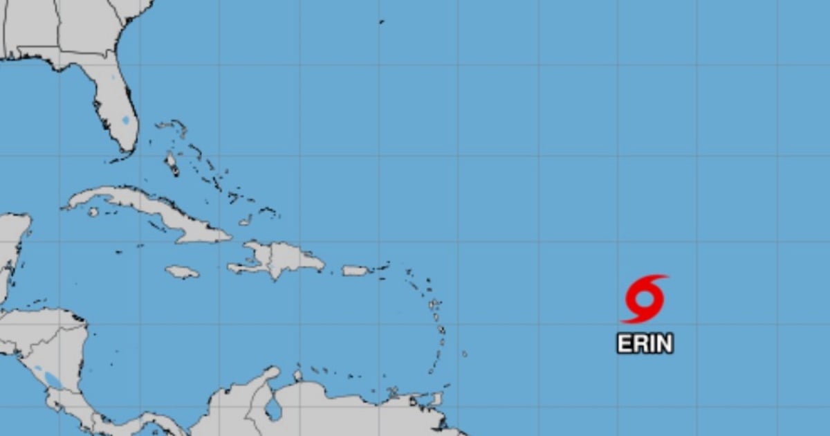
Currently, Erin's maximum sustained winds have reached 50 mph (85 km/h), with higher gusts. The storm has also picked up speed, now moving at 17 mph (28 km/h) toward the west. As of 5:00 AM AST (0900 UTC), Erin was positioned at latitude 16.3°N and longitude 48.2°W, approximately 990 miles (1,595 kilometers) east of the northern Leeward Islands.
Forecast Path
The official forecast indicates that Erin will maintain its westward movement throughout the day, with a slight turn toward the west-northwest expected tonight and over the weekend. While current forecast models do not predict a direct impact on Cuba or the Florida peninsula, both regions are advised to closely monitor any shifts in Erin's path or intensity.
On its projected path, the storm's center is expected to pass near or just north of the northern Leeward Islands, potentially causing significant effects on those islands, as well as the Virgin Islands and Puerto Rico. Although no coastal warnings or watches are currently in effect, the NHC urges authorities and residents in the vicinity to stay vigilant and prepare for potential changes in weather conditions.
Potential for Intensification: Hurricane Strength Possible in 48 Hours
Erin's minimum central pressure is estimated at 1002 mb (29.59 inches), indicative of its increasing organization. A gradual strengthening is expected over the next 24 to 48 hours, potentially elevating Erin to a Category 1 hurricane by Friday or Saturday, contingent on factors like sea surface temperatures and wind shear.
Presently, tropical storm-force winds extend up to 60 miles (95 kilometers) from the center, already influencing a broad ocean area and setting the stage for potentially adverse conditions for the eastern Caribbean islands.
Land Threats: Swells, Rip Currents, and Marine Hazards
Despite Erin being far offshore, swells generated by the storm will begin impacting the northern coasts of the Leeward Islands, the Virgin Islands, and Puerto Rico over the weekend. The NHC warns that these swells could lead to elevated surf, dangerous rip currents, and hazardous marine conditions for small craft and recreational activities. Local weather services' advisories should be heeded, and entering the ocean should be avoided during this period.
If Erin strengthens into a hurricane and approaches populated areas, it may bring torrential downpours, urban flooding, landslides in hilly regions, and wind gusts capable of damaging fragile infrastructure. As Erin moves toward the eastern Caribbean, its potential evolution into a hurricane becomes increasingly likely. Weather conditions can shift rapidly, necessitating that local authorities and communities activate their preparedness and communication protocols.
The Caribbean's climatic history highlights that even moderately intense systems can have devastating impacts if their potential is underestimated or if action is delayed. The message is clear: follow official reports, remain informed, and be prepared.
Tropical Storm Erin FAQs
What is the current status of Tropical Storm Erin?
As of 5:00 AM AST, Erin has maximum sustained winds of 50 mph and is moving westward at 17 mph. It shows signs of strengthening and may reach hurricane strength by Friday.
Will Erin affect Cuba or Florida directly?
Current projections do not indicate a direct impact on Cuba or Florida, but changes in Erin's path or intensity should be closely monitored by both areas.
What precautions should be taken in the eastern Caribbean?
Residents should monitor official updates, prepare for changing conditions, and avoid entering the ocean due to potentially dangerous swells and rip currents.